Location file
Touring The Covered Bridges Of Madison County
Madison County, Iowa, built nineteen covered bridges in the second half of the nineteenth century. Six are still standing. They were roofed for a practical reason that has nothing to do with romance: the roof and siding protect the timber deck from the weather, and a covered deck lasts three or four times as long as an open one.
The 1995 film made the county a destination, and this file takes the six in driving order with the roads between them, because that is the part visitors get wrong. Winterset sits at the centre; the bridges are spread over about twenty miles of gravel section roads, and the connecting drives take longer than the map suggests.
The six bridges, in driving order
| Bridge | Built | From Winterset | Status |
|---|---|---|---|
| Roseman | 1883 | 20 min SW | Standing |
| Holliwell | 1880 | 15 min SE | Standing |
| Cedar | 2019 rebuild | 12 min NE | Changed |
| Hogback | 1884 | 15 min NW | Standing |
| Cutler–Donahoe | 1870 | In Winterset | Changed |
| Imes | 1870 | 25 min E | Changed |
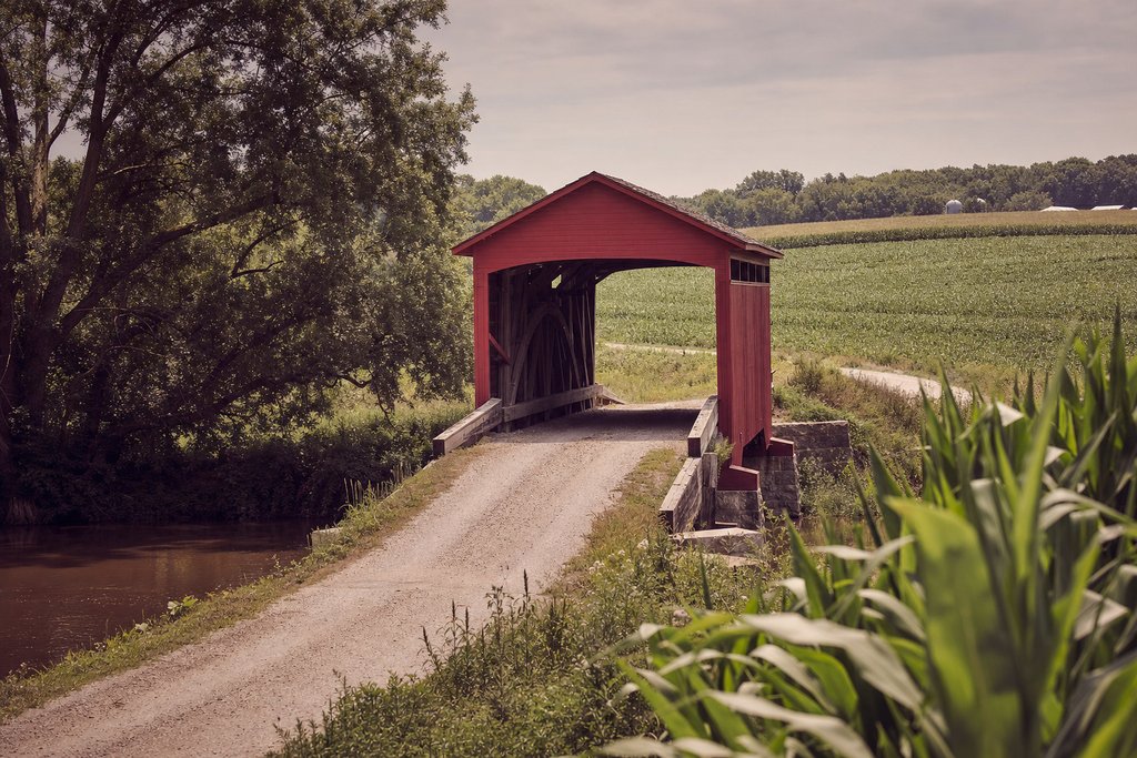
Roseman Bridge · the one from the film
Roseman Bridge, 1883
The bridge that carries the note scene, and the best preserved of the six. It stands on its original abutments over Middle River and has never been relocated, which two of the others have. There is a gravel car park, a visitor shop that keeps seasonal hours, and a footpath down to the water on the north bank; the angle from the riverbank is the one worth walking for.
- Address
- Roseman Bridge Road, south-west of Winterset, Iowa
- Status
- Standing: original site
- Access
- Open, free
- Checked
- Aug 2026
Holliwell Bridge · the longest
Holliwell Bridge, 1880
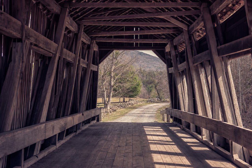
At just over a hundred and twenty feet this is the longest of the six, and it also appears in the film. It sits low over Middle River south-east of town on a gravel road that is fine in dry weather and worth thinking about after rain. The approach from the east gives the better view of the full span.
- Address
- Holliwell Bridge, south-east of Winterset, Iowa
- Status
- Standing
- Access
- Open, free
- Checked
- Aug 2026
Cedar Bridge · rebuilt twice
Cedar Bridge, 2019 reconstruction
The most complicated status on this list. The original 1883 bridge was moved in the 1920s, destroyed by arson in 2002, rebuilt in 2004, destroyed by arson again in 2017, and rebuilt once more in 2019. What stands today is new timber on the historic plan and in the historic position, which is a different thing from a surviving bridge and is marked as such here.
- Address
- Cedar Bridge Road, north-east of Winterset, Iowa
- Status
- Changed: rebuilt 2019
- Access
- Open, free
- Checked
- Aug 2026
Hogback, Cutler–Donahoe and Imes
Hogback Bridge, 1884
North-west of Winterset on its original site over the North River, in a shallow valley that makes it the most photogenic approach of the six. The gravel road in is well graded.
- Address
- Hogback Bridge Road, north-west of Winterset, Iowa
- Status
- Standing
- Access
- Open, free
- Checked
- Aug 2026
Cutler–Donahoe Bridge, 1870
Moved into Winterset City Park in 1970 and therefore no longer over a river at all. It is the easiest of the six to reach, you can walk to it from the town square, and the least authentic in setting.
- Address
- Winterset City Park, Winterset, Iowa
- Status
- Changed: relocated 1970
- Access
- Open, free
- Checked
- Aug 2026
Imes Bridge, 1870
The oldest of the six and also relocated, twice, ending up on the edge of St Charles at the eastern end of the county. It is a twenty-five minute drive from Winterset and is usually the one people drop when they run short of daylight.
- Address
- St Charles, eastern Madison County, Iowa
- Status
- Changed: relocated
- Access
- Open, free
- Checked
- Aug 2026
Roads, seasons and practicalities
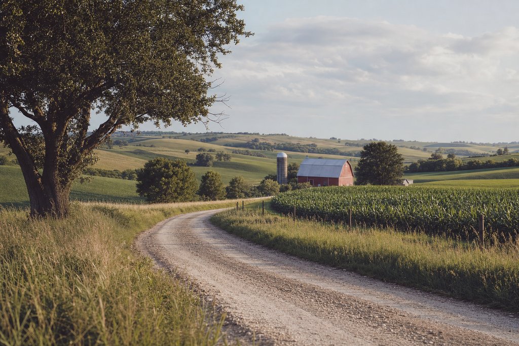
Four of the six are reached by gravel county roads. They are maintained and passable in an ordinary car, but they are slick after rain and washboarded in late summer, and the speed you can comfortably drive is nearer thirty than fifty. Fuel is in Winterset and effectively nowhere else on the circuit.
Autumn is the obvious season and the busy one; the county's bridge festival in October fills every car park and every room within thirty miles. Late spring is quieter, the rivers are higher, and the timber is darker and photographs better. Winter closes nothing but the visitor shops.
Why the status column matters here
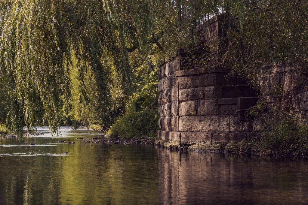
Of the six bridges, only three stand on their original site with their original timber. Two have been relocated and one has been rebuilt from new material after two arson attacks. All six are routinely described as surviving nineteenth-century covered bridges, and all six are worth seeing, but a visitor who has driven from another state to stand where a specific scene was shot is entitled to know which is which.
That distinction is the reason every entry on this site carries a status and a date. The location index lets you filter by it, and the United States hub holds the wider American material and travel tips covers the driving practicalities, while the USA master list places Madison County among the other Midwest entries.
How a covered bridge is built, and why
The roof is not decoration and it is not shelter for travellers. A nineteenth-century timber truss bridge fails at the joints, where water gets in and rot starts, and a covered deck keeps the structural timber dry. A covered bridge lasts three or four times as long as an open one, and that arithmetic is the entire reason they exist.
The Madison County bridges use a Town lattice truss, a criss-cross web of planks pinned with wooden treenails, not iron, which was cheap, needed no skilled ironwork, and could be built by local carpenters from local timber. That is why a poor agricultural county could afford nineteen of them.
The siding is red because red paint was the cheapest available: iron oxide pigment mixed into linseed oil. The colour is an economic fact, not an aesthetic choice.
Driving the circuit
Winterset sits at the centre and the six bridges are spread over about twenty miles around it. A workable order, going clockwise:
- Cutler–Donahoe in Winterset City Park, before leaving town.
- Hogback, north-west, about fifteen minutes.
- Roseman, south-west, about twenty-five minutes across.
- Holliwell, south-east of town, twenty minutes.
- Cedar, north-east, twenty minutes.
- Imes, at St Charles on the eastern edge, twenty-five minutes.
That is a full day at an unhurried pace including stops. Four of the six can be done comfortably in a morning if Imes and Cutler–Donahoe are dropped, and they are the two least worth the drive.
The roads
Four of the six are reached by gravel county roads. They are graded and maintained and are passable in an ordinary car, with two caveats: they are slick for a day or two after rain, and by late summer they wash-board badly enough that thirty miles an hour is the comfortable maximum.
Winterset is the only fuel stop on the loop, and phone signal is patchy in the river valleys. Neither is a problem on a day trip and both matter if something goes wrong.
Winterset itself
The town square
A classic Iowa courthouse square with the county courthouse in the middle and two-storey commercial frontages around it. The visitor centre on the square sells the bridge map and is the place to check road conditions before setting out.
- Where
- Winterset, Madison County, Iowa
- Time needed
- 1 hour
- Checked
- Aug 2026
The John Wayne Birthplace
A small four-room house in the town where the actor was born in 1907, with a separate museum building alongside. It has nothing to do with the bridges and is the other reason people come to Winterset.
- Where
- Winterset, Iowa
- Time needed
- 1 hour
- Checked
- Aug 2026
Pammel State Park
South of town, with a rare road tunnel through a limestone ridge and river bluffs above the Middle River. The prettiest short walk in the county.
- Where
- Madison County, Iowa
- Time needed
- 1–2 hours
- Checked
- Aug 2026
Season
Autumn is the obvious choice and the crowded one: the county's bridge festival in October fills every car park and every room within thirty miles, and should either be planned for or avoided deliberately.
Late spring is quieter, the rivers are higher and faster, and the timber is darker and photographs better. Winter closes the visitor shops and nothing else; the bridges under snow, with nobody there, are the best version of them.
Photographing them
Two positions work at every bridge and most visitors only take one. The obvious shot is the portal from the approach road. The better one is from the riverbank below, where the truss, the stone abutment and the water are all in frame: every bridge here has a scramble down one bank, and Roseman's north side is the easiest.
Inside, the light comes from both ends and from the gaps between the siding boards, which gives a striped interior that reads well in black and white and badly in flat colour. Midday is the only hour the interiors are properly lit.
Frequently asked questions
How many covered bridges are left in Madison County?
Six of the nineteen originally built survive. Cedar Bridge is a 2019 reconstruction following an arson attack, so of the six standing structures five are historic fabric and one is new timber on the original plan.
Which covered bridge was used in The Bridges of Madison County?
Roseman Bridge carries the note scene and is the one most closely associated with the 1995 film. Holliwell Bridge was also used, and Cedar Bridge appeared before the fire that destroyed the original structure.
Can you drive over the covered bridges?
No. All six have been bypassed and are closed to vehicles; each has a car park beside it and you walk on. That is why they survive; a nineteenth-century timber deck does not carry modern farm traffic.
How long does it take to see all six bridges?
A full day at an unhurried pace. The six sit within about twenty miles of Winterset but the connecting roads are gravel section roads, so the driving is slower than the distance suggests. Four of the six can be done comfortably in a morning.